Spartan Forge App
20% Off NOT available when purchase is made directly through the Apple APP Store or Google Play Store (Use link above for 20% OFF)

Spartan Forge App
Sale price$79.99


Spartan Forge App
Starting at
$ 79.99/year / $12.99/month
Save 51% when paying annually.
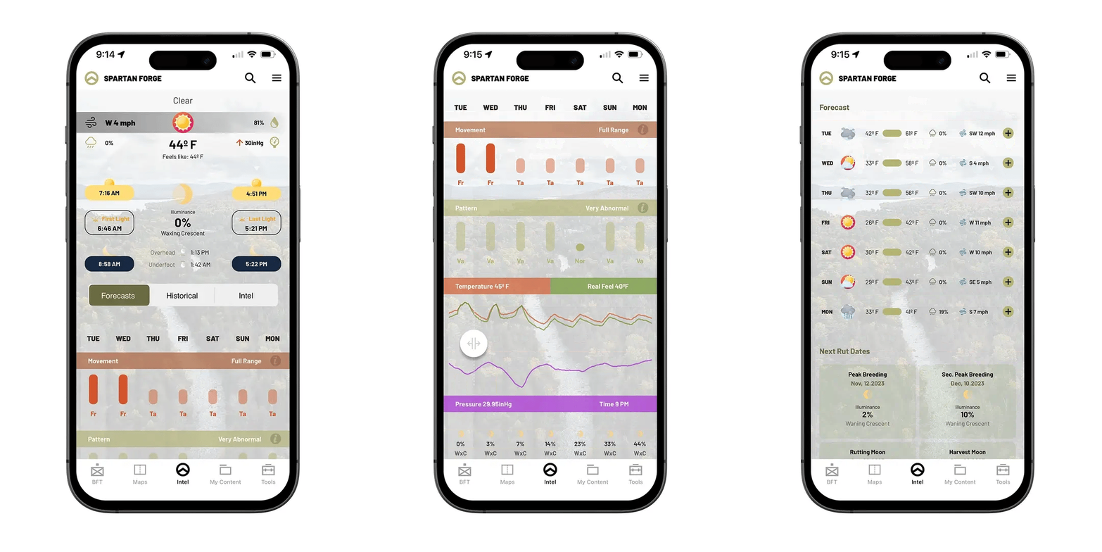
The ONLY app using science to build deer movement prediction forecasts.
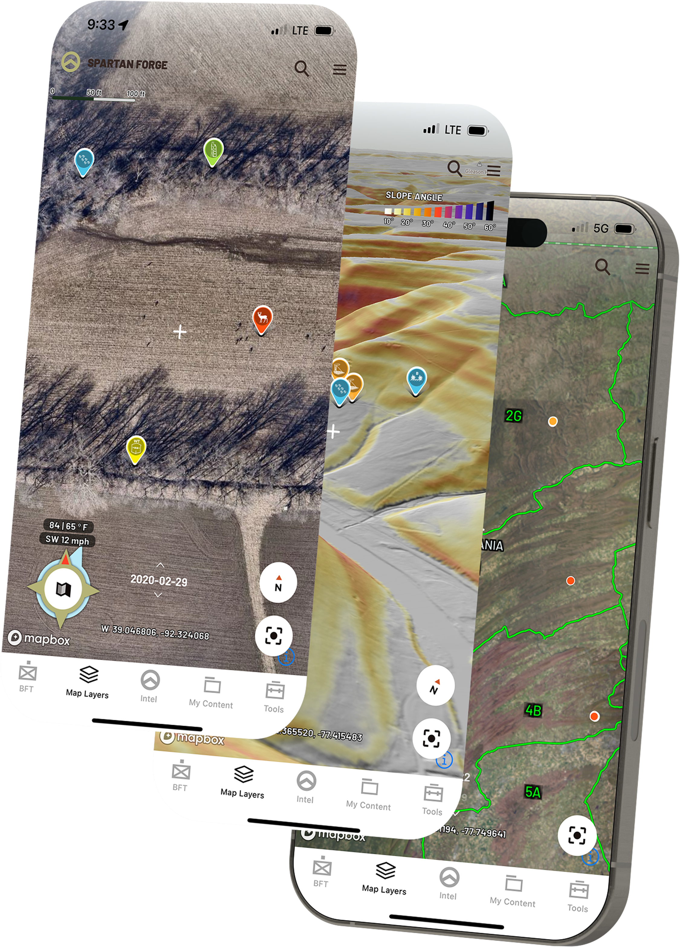
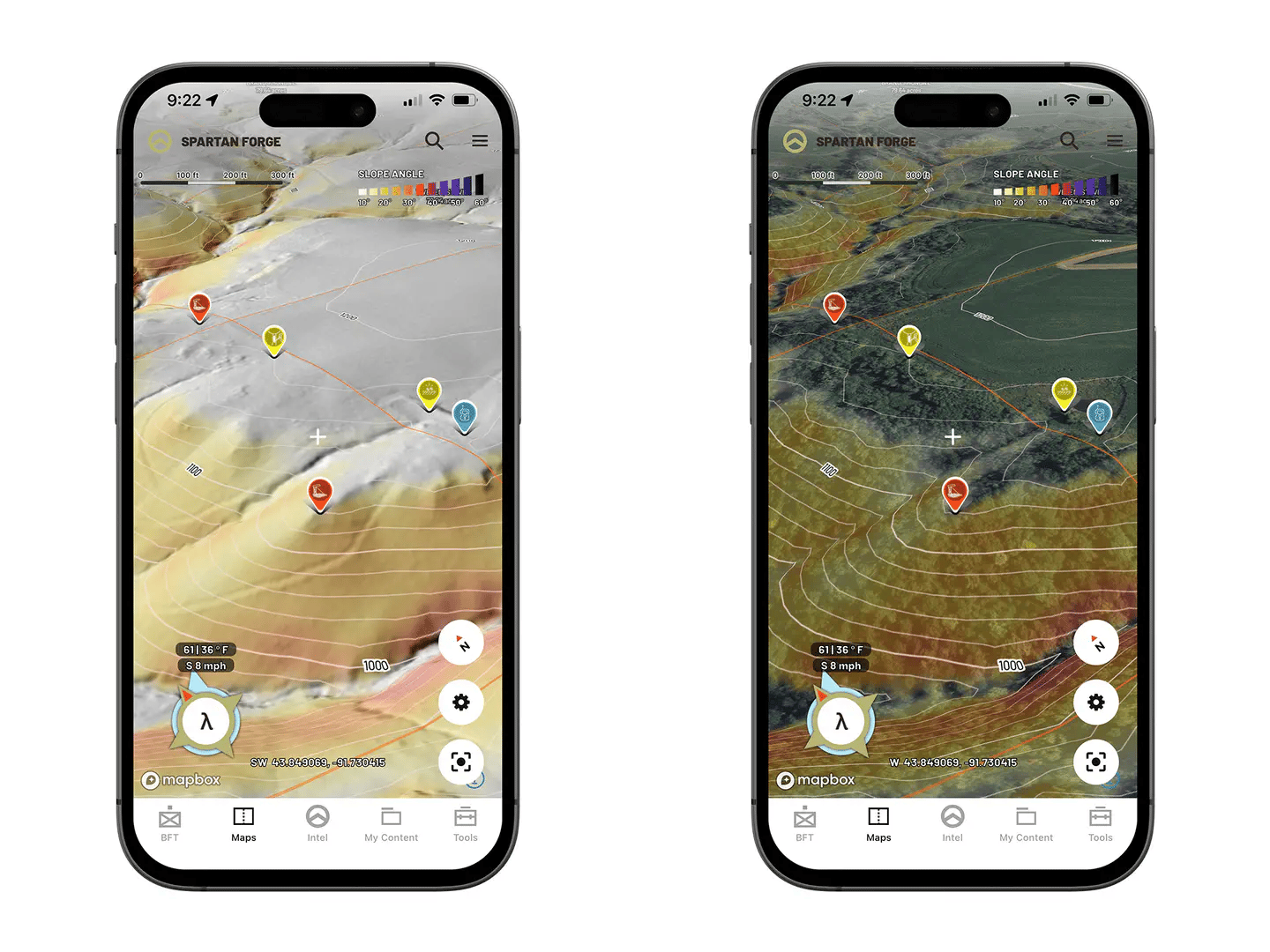
- LIDAR: 1m resolution for ~66% of the lower-48 U.S. with 10m coverage for remainder.
- Transfer Points from existing Mapping apps!
- Check out how at the video below:
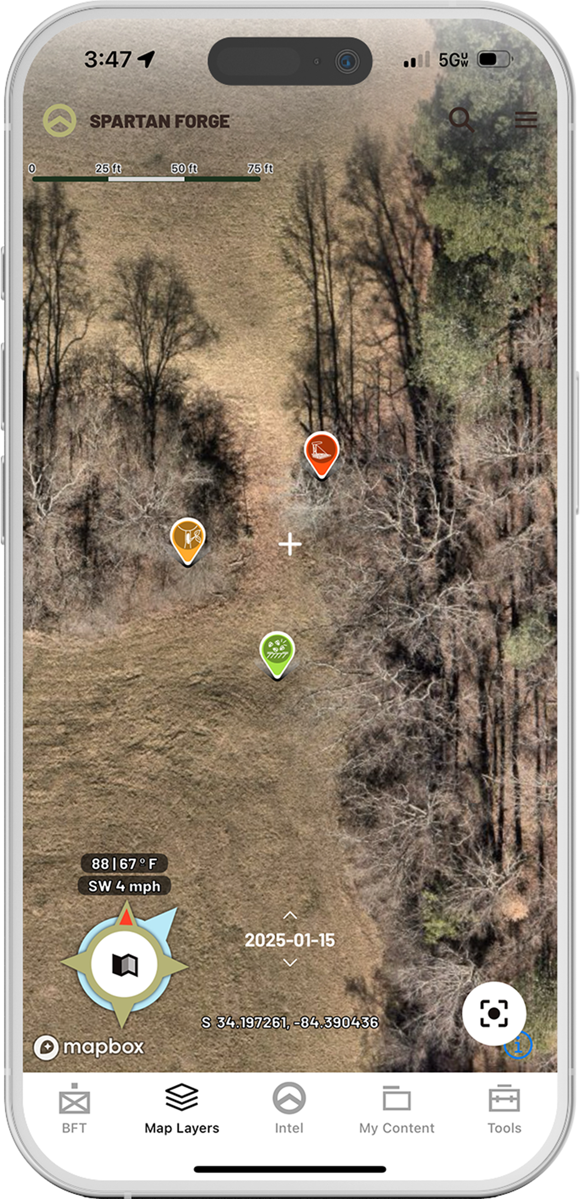
- Industry Leading Hi-Res UAV Map w/ 15cm resolution
- 3-8 years of historical UAV Imagery for 40% of US
- Sun Exposure layer to see terrain like never before
- Historical Wind Plot Data
- Live Group Pin Sharing from Blue Force Tracker
- Hourly Weather & Wind Forecasts
- Deer Prediction AI Forecasting Model
- 3 Customizable Pre-Set Mapping Layers (w/ endless combinations)
- Eagle Eye - 4 unique side profile views of terrain and vegetation (in most UAV areas)
- Offline Mapping
- Configurable Topo Maps w/ detailed 10ft contour lines
- Split Screen Mapping for web application (allows topo and satellite layers simultaneously)
- Slope Angle Shading for quick terrain analysis
- Public and Private Boundary Lines
